Description
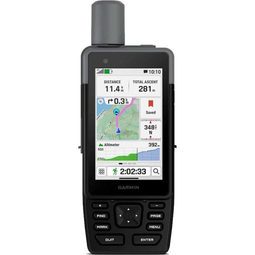
Garmin GPSMAP H1i Plus Handheld Navigation Device
Premium handheld GPS device with inReach® Plus technology
This rugged handheld GPS device offers a modern design, pre-installed maps and integrated inReach® Plus technology to stay connected even without cellular coverage. The trails are waiting for you.
Highlights of the Garmin GPSMAP H1i Plus
- Hybrid design with 3.5-inch color touch display and physical buttons
- Exchange photos, voice messages and SMS messages with inReach subscription
- Sending an interactive SOS emergency call to Garmin Response℠ to get help in an emergency (subscription required)
- Pre-installed Topoactive maps, downloadable satellite images and optional Outdoor Maps+ content
- Long battery life of up to 145 hours in GPS mode
- Multi-band GPS and multi-GNSS support to help with precise positioning
Details & features of the Garmin GPSMAP H1i Plus
- Color touch display: The handheld device has a bright, 3.5-inch color touch display with scratch-resistant glass that is easy to read even in the sun. Thanks to the user-friendly operation (even when wearing gloves), it is easy to zoom into maps, swipe across the display and follow routes.
- Physical buttons: The intuitive buttons of the robust hybrid design allow for more versatile operation when using the device in bad weather or with gloves. There is a shortcut button for customizing functions.
- Photo and voice/SMS messages: With an active inReach subscription, you can send 30-second voice messages and individual or group messages of up to 1,600 characters to your loved ones. You can also exchange photos and voice messages - even without mobile reception.
- Interactive SOS emergency call: Make an interactive SOS emergency call at any time to Garmin Response, our 24/7 international emergency coordination center, to get help in an emergency. This requires an active inReach subscription.
- Advanced navigation: Navigate with pre-installed TopoActive maps for Europe, the Middle East and Africa - as well as easily accessible global maps. View e.g. terrain contours, elevations, coastlines, rivers and landmarks.
- Satellite images: Download high-resolution, photorealistic maps directly to your handheld device via WLAN. Find trails, select positions of high seats and parking lots, create waypoints and much more.
- Outdoor Maps+: Purchase an Outdoor Maps+ subscription and access various worldwide premium map content. Subscriptions are updated regularly and sent to your handset via Wi-Fi.
- Positioning accuracy: Multi-band GPS and multi-GNSS support ensure extremely precise positioning accuracy.
- Integrated cameras: The integrated front and rear cameras allow you to take selfies and photos on the go. Do you have an active inReach subscription? Share photos in real time even without mobile phone reception.
- Voice control: Use voice commands for a variety of tasks, including check-ins, start tracking, take photos and more. Available in German, Danish, English, French, Italian, Dutch, Spanish and Swedish.
- Share via LiveTrack™: If you're traveling in remote areas, friends can use satellite technology1 to send a location request to your device to see your GPS position and exchange messages with you. Do you have mobile coverage? Then your loved ones can follow your position in real time and see data such as distance, time and altitude.
- Garmin weather data: Get real-time information so you know when weather conditions change. This feature requires an active Wi-Fi or cellular connection and the use of the Garmin Messenger™ app on your paired smartphone. Without a cellular connection, you can receive weather updates via satellite for your current position, route destination and more.
- Easy trip planning: Enjoy seamless route planning with the ability to easily find geographic points, share your route and more. This requires an active Wi-Fi or cellular connection and the use of the Garmin Explore™ app on your compatible smartphone.
- Helpful tools: Use the integrated, bright LED flashlight as a help signal or to light the way in the dark. A loud, integrated siren can alert others to your presence if necessary.
- Long battery life: The battery has a long runtime of up to 145 hours in GPS mode.
- Rugged design: The handset meets MIL-STD 810 for thermal performance, shock resistance, water resistance (IPX67) and vibration to withstand weather conditions and extreme temperatures.
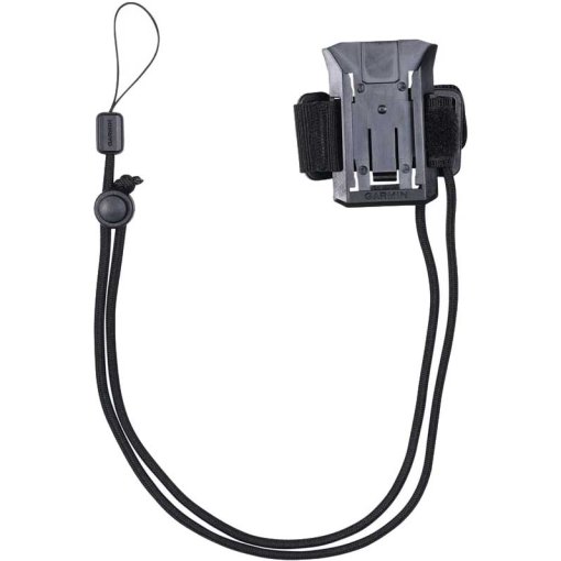
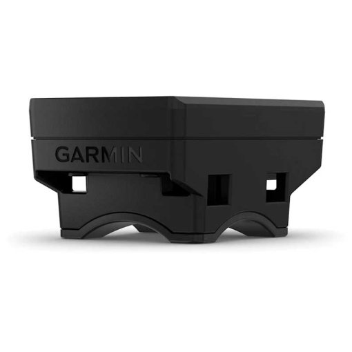
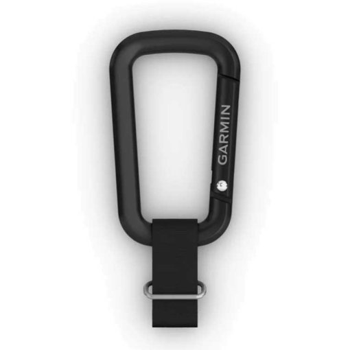
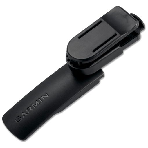
- In your environment: The handset is equipped with an integrated back case mount and a detachable belt loop with carabiner clip for more options on adventures. It is also compatible with additional back case mount adapters (sold separately).
- ABC sensors: Use an integrated altimeter for elevation data, a barometer to monitor the weather and a 3-axis electronic compass for directional information.
Scope of delivery
- GPSMAP® H1i Plus
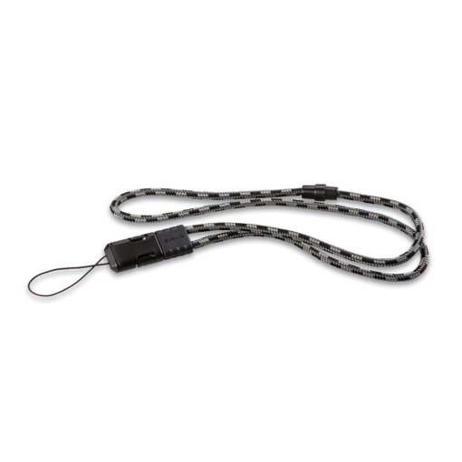
- Carabiner with belt loop
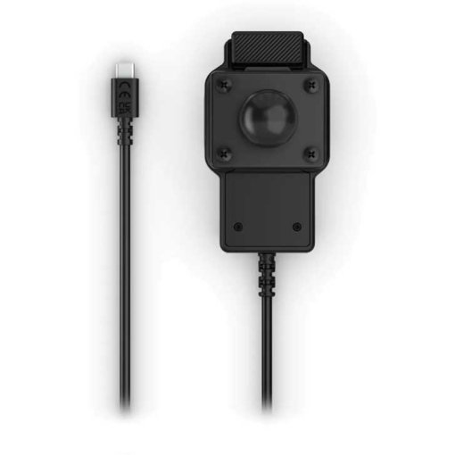
- Charging/data cable
- documentation

Fact Sheet
| Product Name: | Garmin GPSMAP H1i Plus Handheld Navigation Device |
| Manufacturer: | Garmin |
| Item Code: | GAR742527 |
| activity: | Outdoor |
| dimensions (l/w/h): | 67/179/33mm |
| IP rating: | IP67 |
| transmission standard: | ANT+, Bluetooth, WiFi, USB, Wireless |
| expandable memory: | no |
| internal memory: | 64Gb |
| Battery Type: | integrated Battery |
| device functions: | Altitude, PC-/App-Analysis, GPS, Navigation, Temperature, Smart Notifications |
| Device Version: | Handheld |
| compass type: | electronical |
| Display Features: | Colored, with Map Display |
| display size (diagonal): | 3.5" |
| Model year: | 2026 |
| Collection: | Full year |
| Color: | Black |
| weight: | 290g |
| manufacturer item code: | 010-02921-01 |
| Weight Source: | Manufacturer |
| GTINs: | 753759329730 |
| Manufacturer page: | https://www.garmin.com |
Availability
Ratings (0)
Manufacturer
Garmin
All products from Garmin
Garmin Deutschland GmbH
Parkring 35
85748 Garching
Germany
+4989 858364880
Parkring 35
85748 Garching
Germany
+4989 858364880